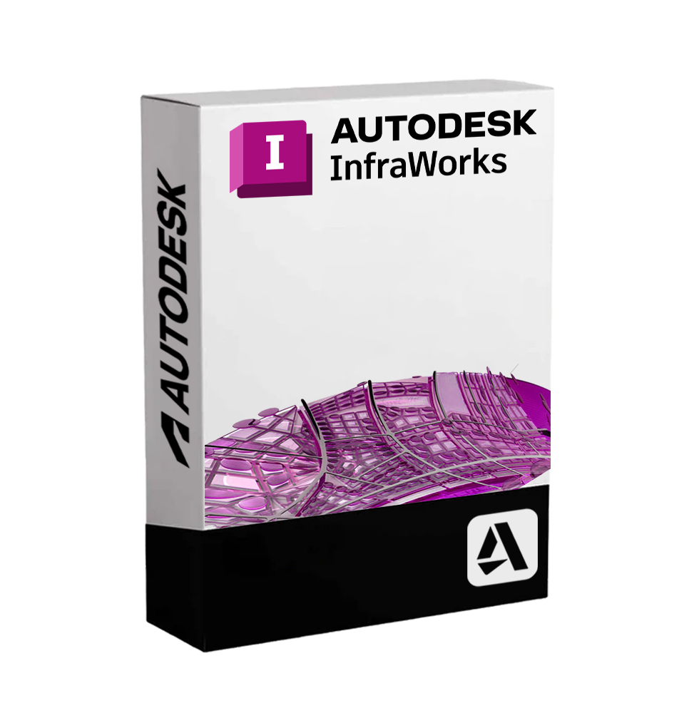
Autodesk InfraWorks - Infrastructure Planning and Design with Real Contextualization
Autodesk InfraWorks is an advanced design and visualization platform dedicated to the field of civil infrastructure. It allows creating 3D models rich in geospatial data for conceptual design, urban planning, and public works simulation, integrating geography, BIM, and analysis into a realistic and collaborative visual environment.
InfraWorks is designed for civil engineers, urban planners, and designers who wish to quickly evaluate infrastructure solutions in realistic contexts, improve the decision-making process, and present projects in a visually compelling manner.
🌍 Main Features of Autodesk InfraWorks
• Creation of Contextualized Territorial Models: import GIS, topographic, raster, and vector data to generate realistic and georeferenced environments on a large scale.
• Integration with Geospatial Data: supports formats such as SHP, GeoTIFF, KML, and direct connections to WMS services and GIS databases.
• Intelligent Road Design: allows the modeling of road paths parametrically, with control over slopes, sections, and dynamic intersections 🚧.
• Bridges and Linear Infrastructures: preliminary design of bridges with detailed structural visualization, including the automatic insertion of piles, decks, and supports.
• Simulation of Rainwater and Hydrological Flows: hydraulic analysis to assess the environmental impact of infrastructure or to plan urban drainage systems 🌊.
• Railway Design: tools dedicated to the creation of railway lines, transition curves, platforms, and stations, with local railway standards.
• Cloud-based Collaboration: access to models via the cloud for multidisciplinary teams, with the possibility of review, comment, and real-time sharing.
• Real-time Realistic Rendering: highly detailed visual representation of landscapes, buildings, vegetation, and traffic, useful for communicating with stakeholders and public administrations.
🛠 Included Tools and Interoperability
InfraWorks is designed to work in synergy with other Autodesk software, in particular:
• Revit for architectural structures
• Civil 3D for the detailed design of roads, water networks, and underground infrastructures
• AutoCAD for the production of technical drawings
• Navisworks for model review and interference management
• BIM 360 and Autodesk Docs for document management and team collaboration
The model developed in InfraWorks can easily be exported in compatible formats for executive design, maintaining consistency between the various work phases.
💻 Compatibility and System Requirements
🖥️ Supported Operating Systems:
• Windows 10 / 11 (64-bit)
InfraWorks is not compatible with macOS or Linux environments
🔧 Recommended Minimum Requirements:
• Processor: minimum 3.0 GHz, multicore (Intel i7 or equivalent AMD Ryzen recommended)
• RAM: at least 16 GB (recommended 32 GB for complex projects and extensive urban environments)
• Graphics Card: DirectX 11 compatible GPU, 4 GB VRAM or higher (recommended NVIDIA Quadro or RTX card)
• Disk Space: at least 50 GB available for installation and temporary files
• Internet Connection: necessary for activation, access to cloud services, and automatic updates ☁️
👥 Who is Autodesk InfraWorks Suitable for?
InfraWorks is ideal for:
• Civil and Infrastructure Engineers who need to analyze, model, and present preliminary phase projects
• Urban Planners and Territorial Planners who want an integrated overview of urban development, viability, and environmental sustainability 🏙️
• Public Administrations and Design Studios managing competitions, regulatory plans, public works, and environmental analysis
• Multidisciplinary BIM Teams who want to integrate conceptual design with hydraulic analysis, transport, and visual impact tools
• Universities and Research Centers engaged in developing intelligent solutions for smart cities
✅ Autodesk InfraWorks is the perfect tool to transform raw territorial data into visual, dynamic, and informative models. A platform designed to reduce uncertainties in infrastructure planning, facilitate communication with stakeholders, and accelerate decision-making in urban and territorial transformation projects.
DIGITAL DELIVERY
All our products are delivered digitally via email. You will receive a product key, download file, and installation and activation instructions. Most products are delivered within 1-5 minutes. Some products need to be delivered manually and may take up to 1 hour to deliver.
You can also access the product you purchased through My Account:
- - Go to "My Account" by clicking on the top right corner of the web page: "Hello, [your name]".
- - Click "Orders".
- - Find the correct order ID and press "SHOW" on the far right under the "ACTIONS" heading.
On the order page you will find the product key and download guide (some products only receive a download guide via email).
IF YOU CAN'T FIND YOUR PRODUCT KEY:
If your Product Key is not listed on the order page or order confirmation, it will be automatically sent to you within one hour of purchase (Monday to Saturday 9:00 am to 8:00 pm).
If you have not received your Product Key after two hours,
Contact us.


 Multi language